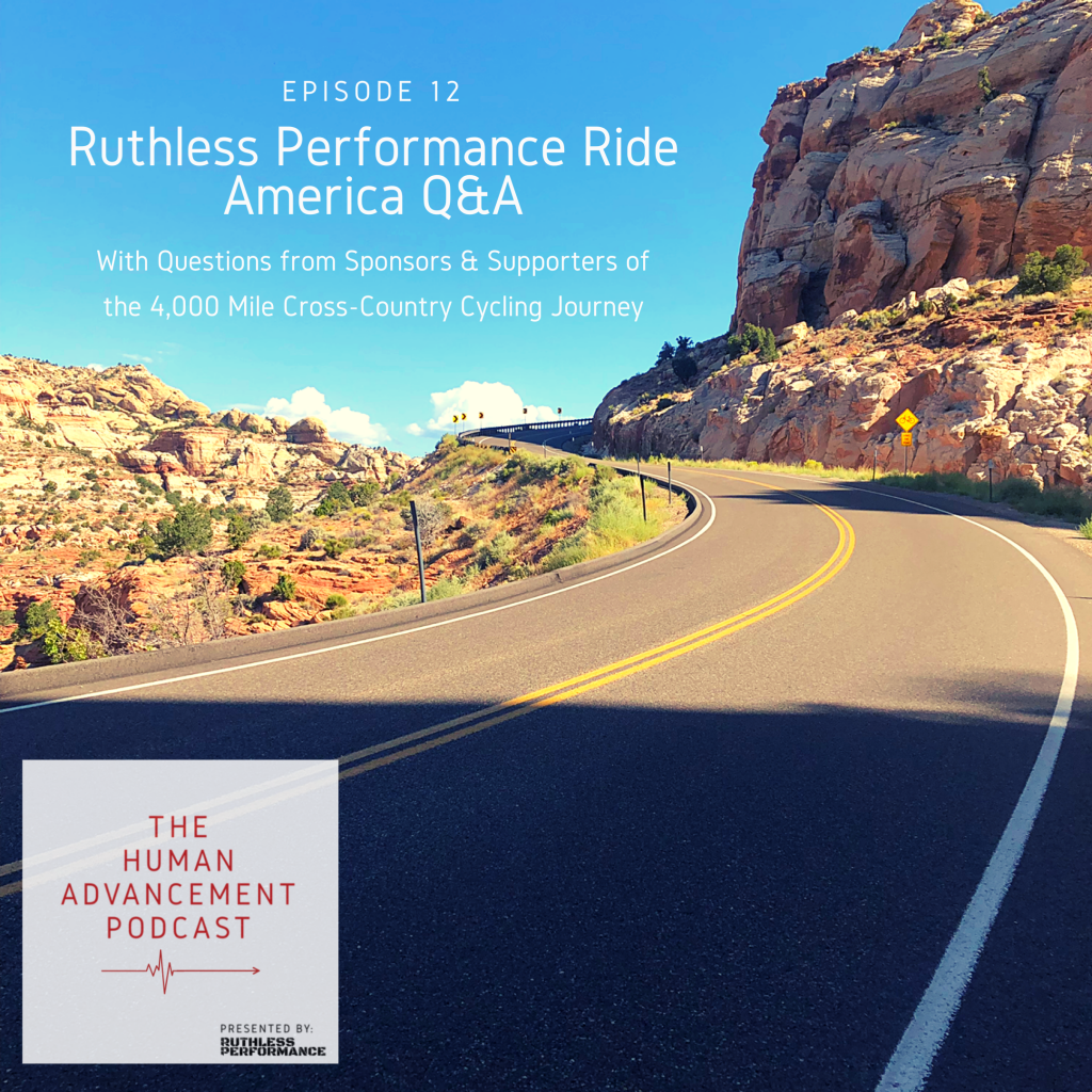
After my 4,000-mile, 43-day cross country cycle, my memory was left with a highly detailed map of this country and the route I took. Though I’ve done a handful of cross-country trips by car (probably somewhere in the neighborhood of 8 coast-to-coast road trips), my understanding of the country and its form was compounded during the cycling challenge by the agonizingly slow speeds of the bike, my lack of air conditioning, the feedback of the terrain, and overall heightened likelihood of peril.
This was doubly true in Utah, a state which I knew was trouble, yet still managed to diminish in my planning…
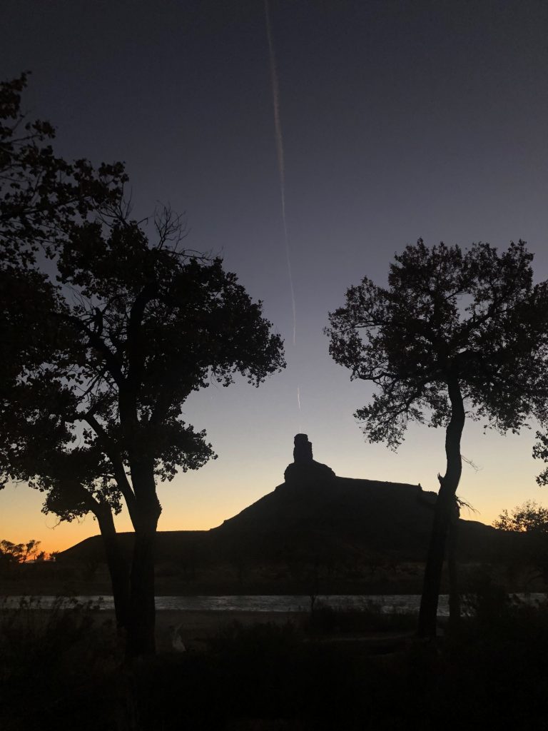
Even before the ride, some car troubles presented me with a 27-mile nearly waterless hike through the Moab Desert in Desolation Canyon. Ever since–and even in that moment–the Desolation Canyon Wilderness Area has remained as one of my favorite camping locations in the lower 48.
During the Ruthless Performance Ride America, I was initially following the Western Express Bicycle Route. The route told of the vast distances of emptiness throughout Nevada, specifically along Highway 50, also known as the loneliest road in America. Upon diverging from the 50, I thought the worst was behind me.
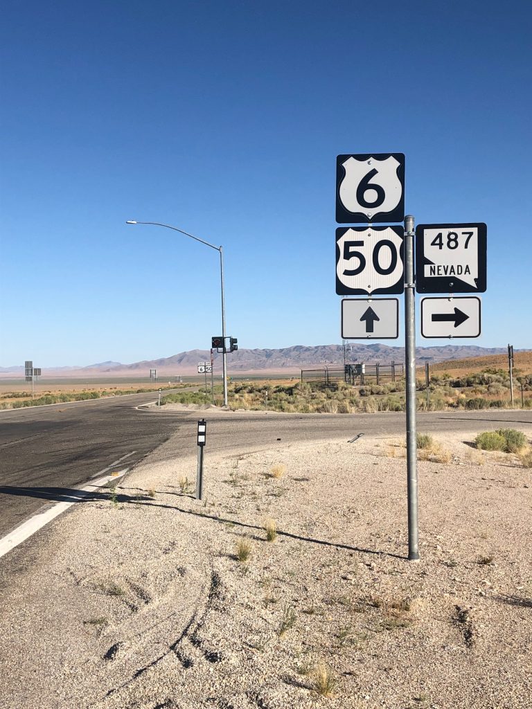
What I didn’t know was the even greater void of civilization found along Utah’s UT-21. Along the 50 in Nevada, I was at least in the company of some passing motorhomes heading towards Great Basin National Park for Labor Day.
But along UT-21 there was nothing…
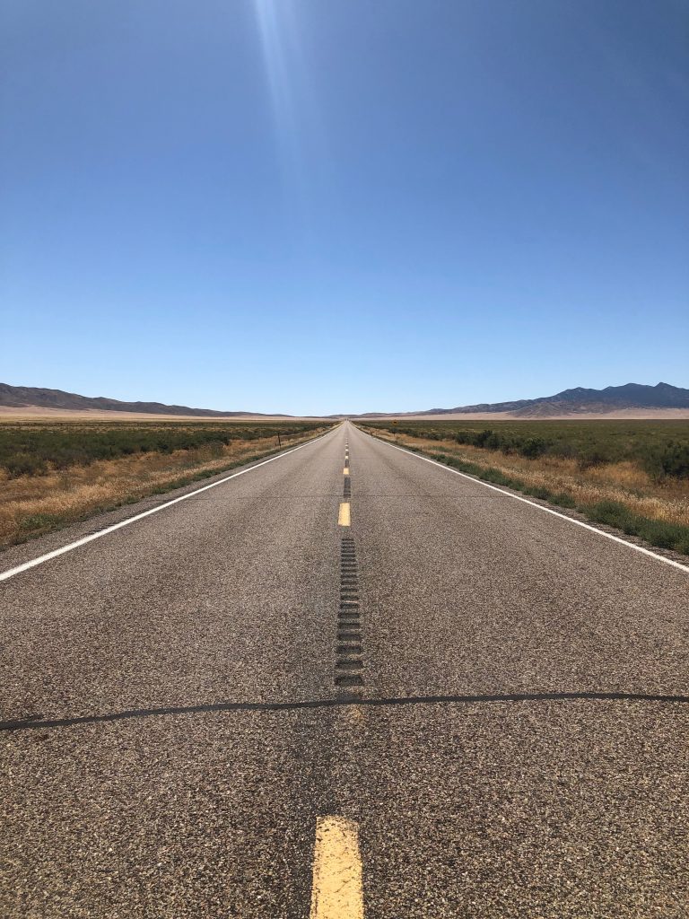
Some false leads on my GPS made me think I was minutes away from a handful of springs and a general store. Upon seeing these, I chugged the last of my water only to find the springs dried and that the general store my GPS had promised me was abandoned for some time.
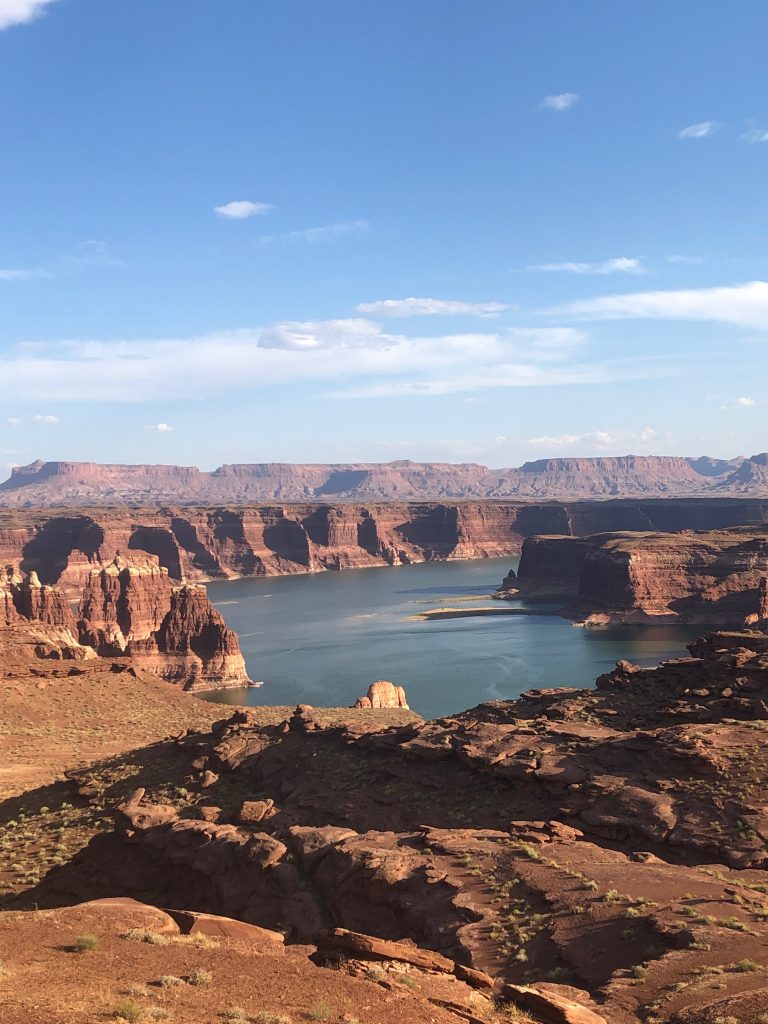
I was relieved to find a hand operated water pump as I closed in on Hite, UT. Hite was intended to play a vital role in my mental health on the trip. Hite, UT is where the Dirty Devil River and the Colorado River come together to form Lake Powell.
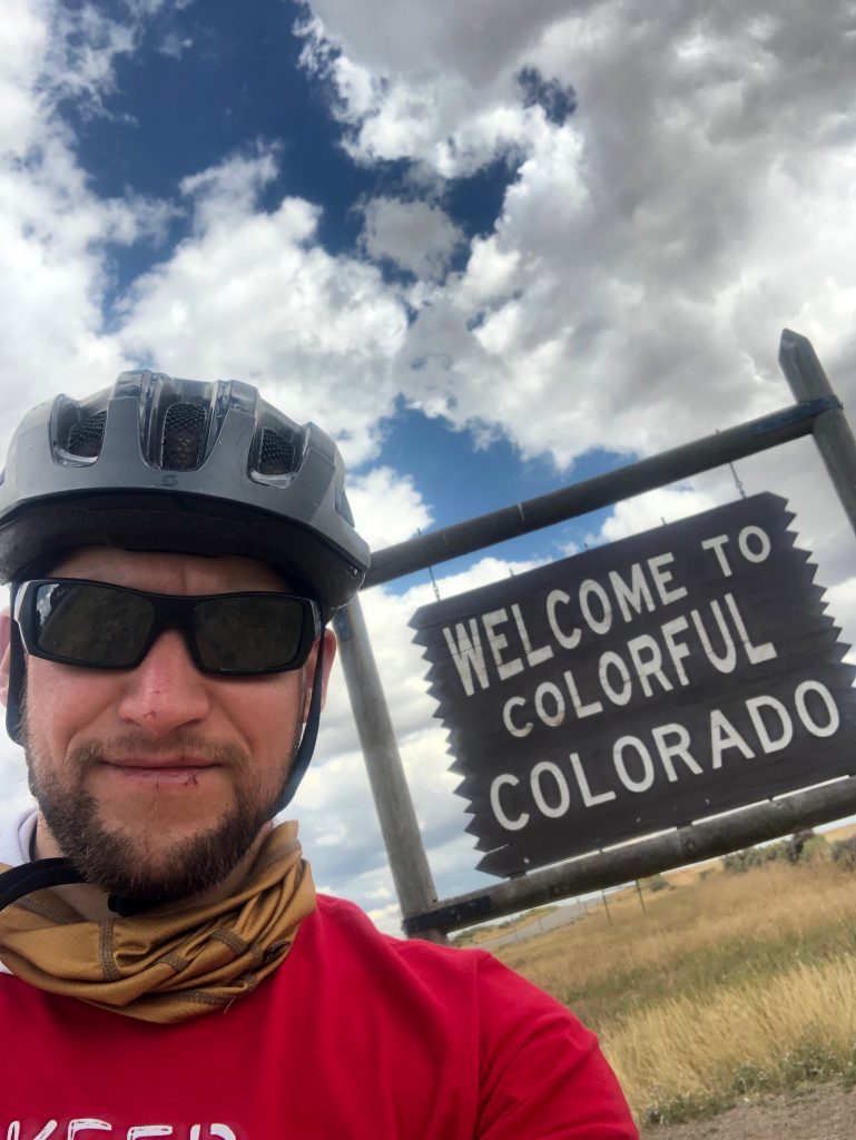
Crossing the Colorado River was one of the biggest checkpoints I was anticipating on the trip. Here, I was supposed to be relieved by cool nightly temperatures and the knowledge that I was back on the eastern boundary of the Colorado River after traveling by human-power that far into the interior from the Pacific. Instead, I was unnerved by the post-Labor Day emptiness and the increasing intensity of coyote howls throughout the night.
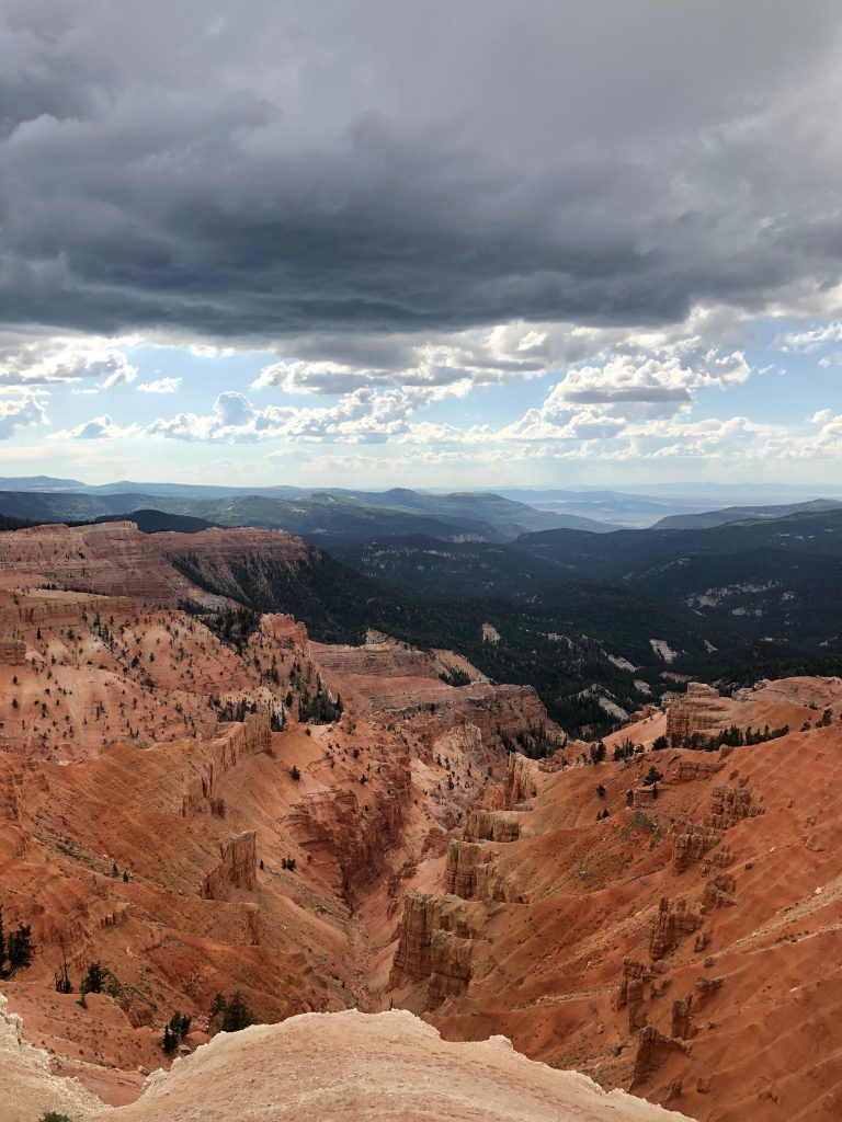
Along with a few dozen other positive experiences on this journey, Cedar Breaks National Monument involved some of my first real climbs of the trip. The range of temperatures, inhospitable climate, and the overall scope and magnitude of the geological formations throughout this state gives it even more appeal in my eyes.
Though I made it out of Utah dehydrated, exhausted, and with such intense sunburn that I live with its remaining tanlines until this very day, I have nothing but positive memories of this state.
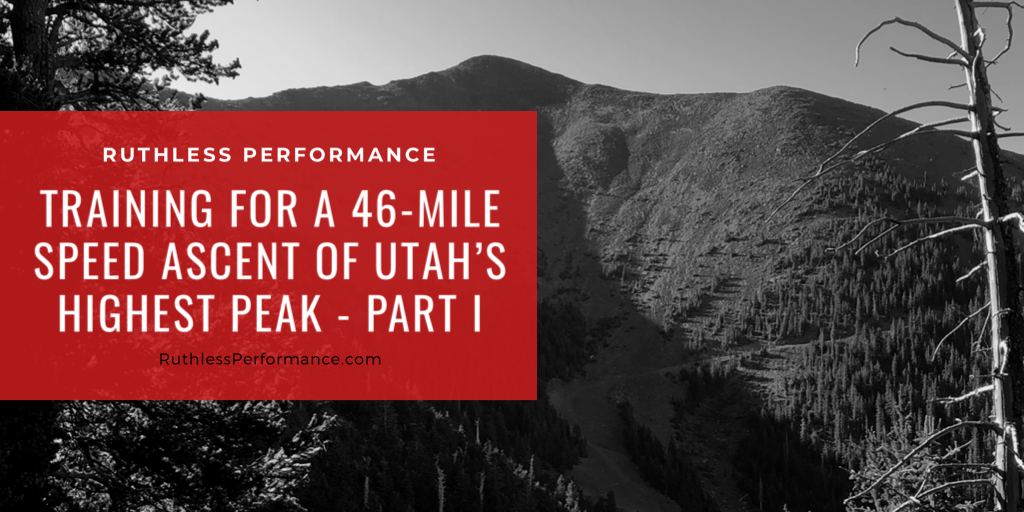
This is why I’ll be returning to Utah this August to do a Speed Ascent of Utah’s Highest Mountain, Kings Peak. In total, my route will be taking me over 46 miles and more than 5,000 vertical feet from the trailhead.
This will be a Speed Ascent in that from basecamp, I’ll be trying to make the last 23-mile push in less than 7 hours.
Also known as ‘skyrunning‘, which as opposed to traditional mountaineering, will have me carrying very minimal equipment and doing so at a very aggressive pace.
In Part II of this article, I’ll explain some of the various training methodologies that I’m using to ensure that I’m equipped to deal with the changes in altitude and extended duress throughout the hours-long climb.
Though you may not be ascending any big western peaks any time soon, there will be plenty of takeaways to apply to your own training.
Be sure to subscribe to our latest posts to get an email when Part 2 comes out. In the meanwhile, you can also listen to a recent episode of the Human Advancement Podcast where I did a Q&A detailing some behind-the-scenes of the Ruthless Performance Ride America.
